
 NASA
NASA builds tree-scale 3D maps of all of California to help gauge wildfire risk
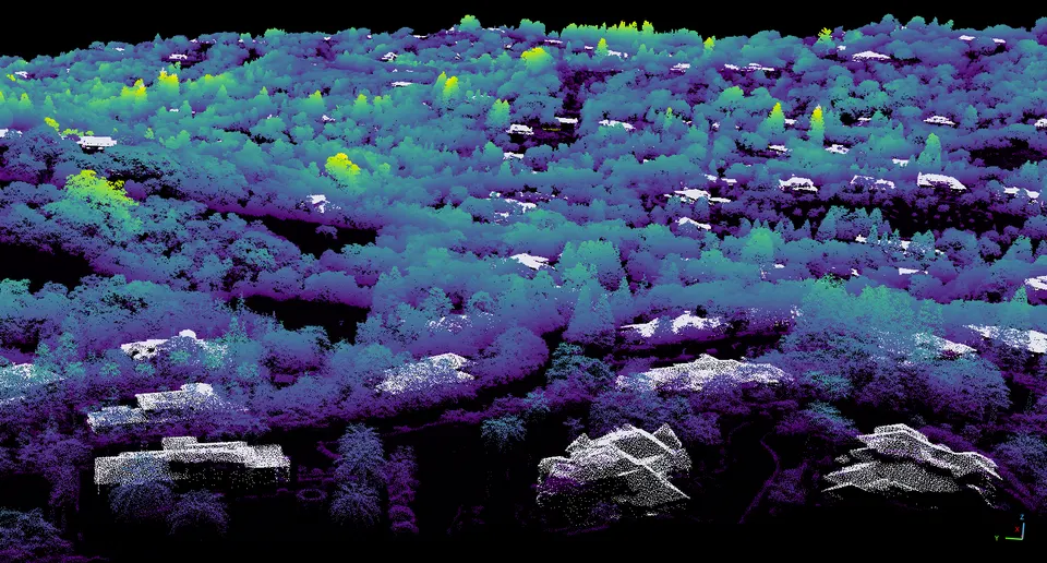
Airborne lidar data from the U.S. Geological Survey went into one statewide map, with each pixel covering a single square meter.
 NASA
Airborne lidar data from the U.S. Geological Survey went into one statewide map, with each pixel covering a single square meter.